The 150th anniversary of the Carta General del Archipiélago Filipino marks a significant milestone in Philippine history and international law. Issued in 1875 and officially stamped by King Alfonso XII of Spain and María de las Mercedes, Princess of Asturias, the Carta General stands as the most authoritative cartographic representation of the Philippine archipelago during the late Spanish colonial period.
The map’s importance lies not merely in its age, but in its legal and historical function. It was recognized as an official map of the Philippines during the Treaty of Paris of 1898, which transferred sovereignty over the archipelago from Spain to the United States, and later reaffirmed under the Treaty of Washington of 1900, which corrected errors in the original treaty’s geographic descriptions. These treaties defined the full territorial extent of the Philippines under international law.
Crucially, the Carta General depicts Bajo de Masinloc, also known as Panacot or Scarborough Shoal, as well as the Kalayaan Island Group, then referred to as Los Bajos de Paragua, as integral parts of the Philippine archipelago. Their inclusion confirms that these maritime features were administered from Manila and formed part of the territory ceded by Spain to the United States. This cartographic evidence establishes continuity of sovereignty long before contemporary disputes arose.
The authority of the Carta General extended into the American period. The United States government released four official editions of the map between 1898 and 1902, and it was later cited in a U.S. memorandum during the 1928 Island of Palmas (Islas Palmas) arbitration, affirming that both Spain and the United States recognized the map as an accurate depiction of Philippine territory.
Despite its importance, no original copy of the Carta General is currently known to exist within the Philippines. Its renewed prominence in public discourse is largely the result of the work of Senior Associate Justice Antonio T. Carpio, who identified the map’s critical relevance to Philippine maritime entitlements and brought it back into national and academic focus. Through his research and public lectures, Justice Carpio demonstrated that Philippine claims in the West Philippine Sea are grounded in documented historical record, not postwar reinterpretation or modern assertion.
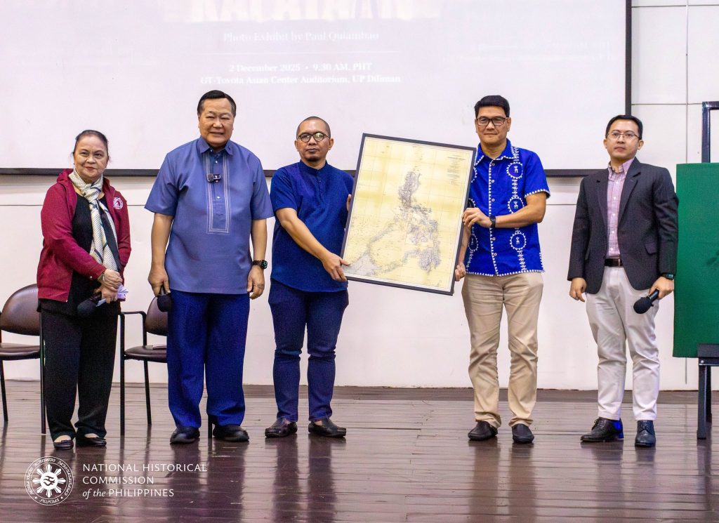
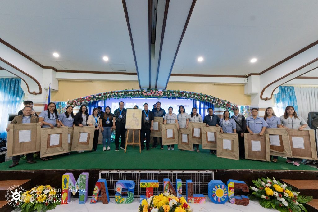
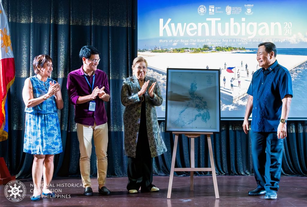
In recognition of its enduring value, the National Historical Commission of the Philippines (NHCP) has included a copy of the Carta General in its “Pag-asa sa Gitna ng Kalayaan” traveling exhibit, allowing the public to engage directly with this foundational document. Justice Carpio has likewise supported efforts to distribute copies of the map to government offices, schools, universities, and libraries, ensuring broader access to an essential reference in Philippine history and law.
One hundred and fifty years after its issuance, the Carta General del Archipiélago Filipino remains more than a historical artifact. It is a legal document of record, a cartographic affirmation of territorial integrity, and a reminder that the Philippines’ maritime rights are anchored in centuries of recognized state practice. In an era of renewed geopolitical tension, the map underscores a fundamental truth: history, when properly understood and preserved, remains one of the strongest pillars of sovereignty.